Know what's within
walking distance
Strado scores every European neighborhood on what you can reach on foot -- shops, healthcare, transit, parks, cafes, and 18 more categories. Free, open data.
Moving to a new city? Strado scores every neighborhood across 50 European cities by what's within a 10-minute walk -- using real data from OpenStreetMap. We measure 22 categories at the street level, from grocery stores and healthcare to cafes and cycling infrastructure, so you can compare areas before you visit. No opinions, no sponsored listings, just data.
Neighborhood intelligence in three steps
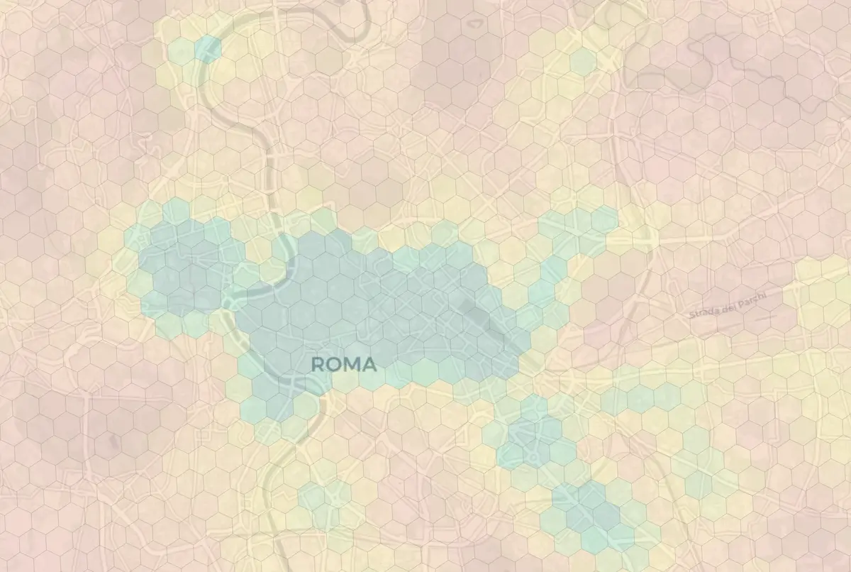
50 cities, every neighborhood scored
From London to Athens, scored across dining, nightlife, healthcare, transit, parks, and more. Pick a city to see its best neighborhoods.


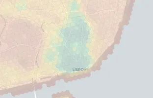


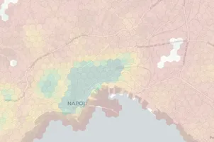


Every city has neighborhoods that look great on paper but disappoint in person -- and hidden gems that locals love. Each city page includes a neighborhood guide, livability scores, and a street-level map so you can check what's actually within walking distance before you visit.
Scored across 22 real-world categories
Every data point comes from OpenStreetMap -- the largest open geographic database in the world, maintained by 10M+ contributors.
Strado in your pocket
and your browser
Check any neighborhood while browsing apartment listings. Get instant scores on your phone when walking a new area.
- ✓Score any address on the go with the mobile app
- ✓See scores on Idealista, Immobiliare, and Rightmove with the Chrome extension
- ✓Personalize -- weight categories that matter to you
+ address score card
Score: A-
on apartment listing page
Dining A+ · Nightlife B+ · Transit A